
UK Outdoor Navigation · iOS & Android
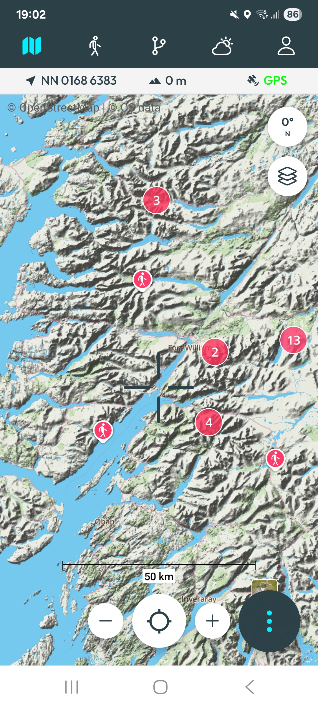
Map-first and simple - no clutter, no bloat. Detailed offline topographic maps, live grid references and dependable route guidance that keeps working when the signal doesn't. Built by hillwalkers for hillwalkers.
100% Free during launch
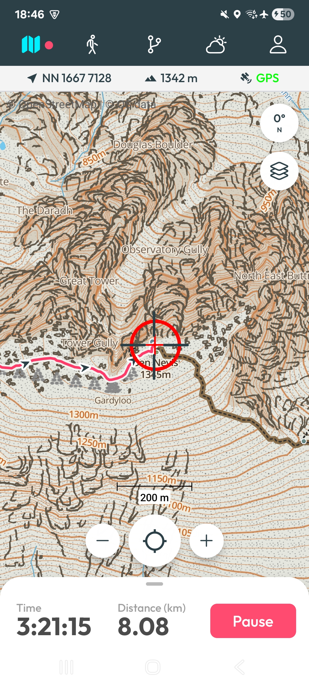
Plan routes, navigate with confidence, record your activities, download offline maps, all in one focused tool.
01 · Navigate
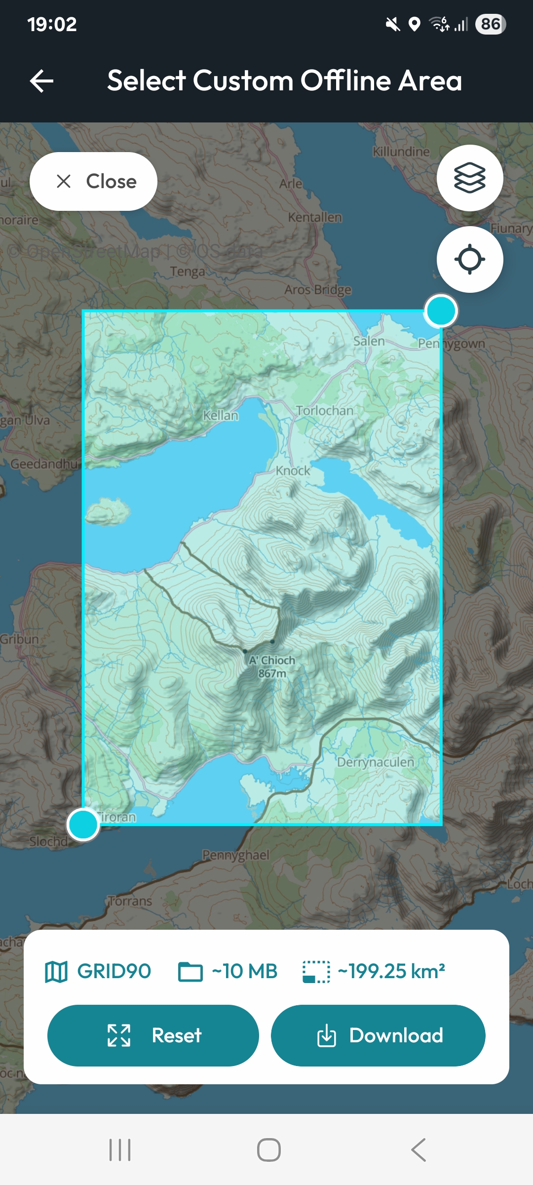
Download high-detail topographic maps and navigate with no signal and no data.
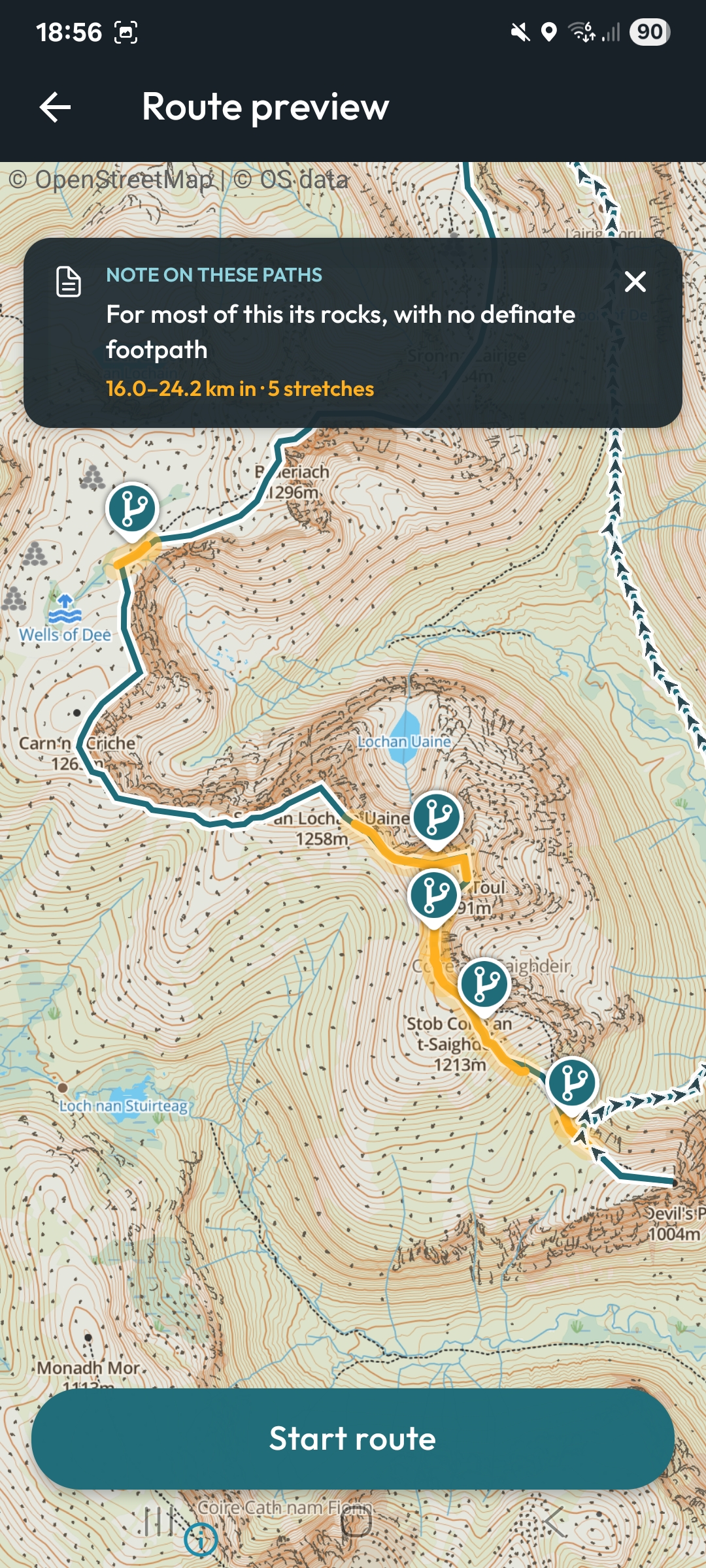
02 · Plan
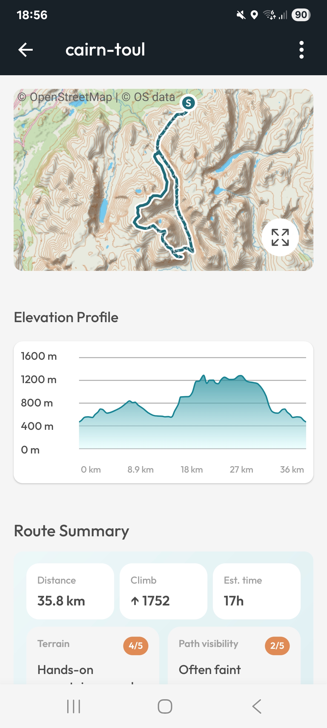
See the line on the map, read the full elevation profile and take advantage of OSM contributor data for any special notes.

03 · Record
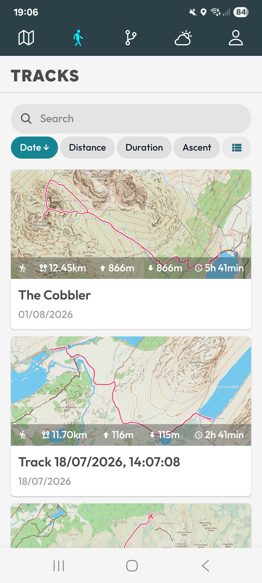
Track your activities (hiking, cycling & more) in the background and review them back home.

04 · Check
Forecasts for most summits & places powered by OpenMeteo using 30+ weather models.

05 · Plot
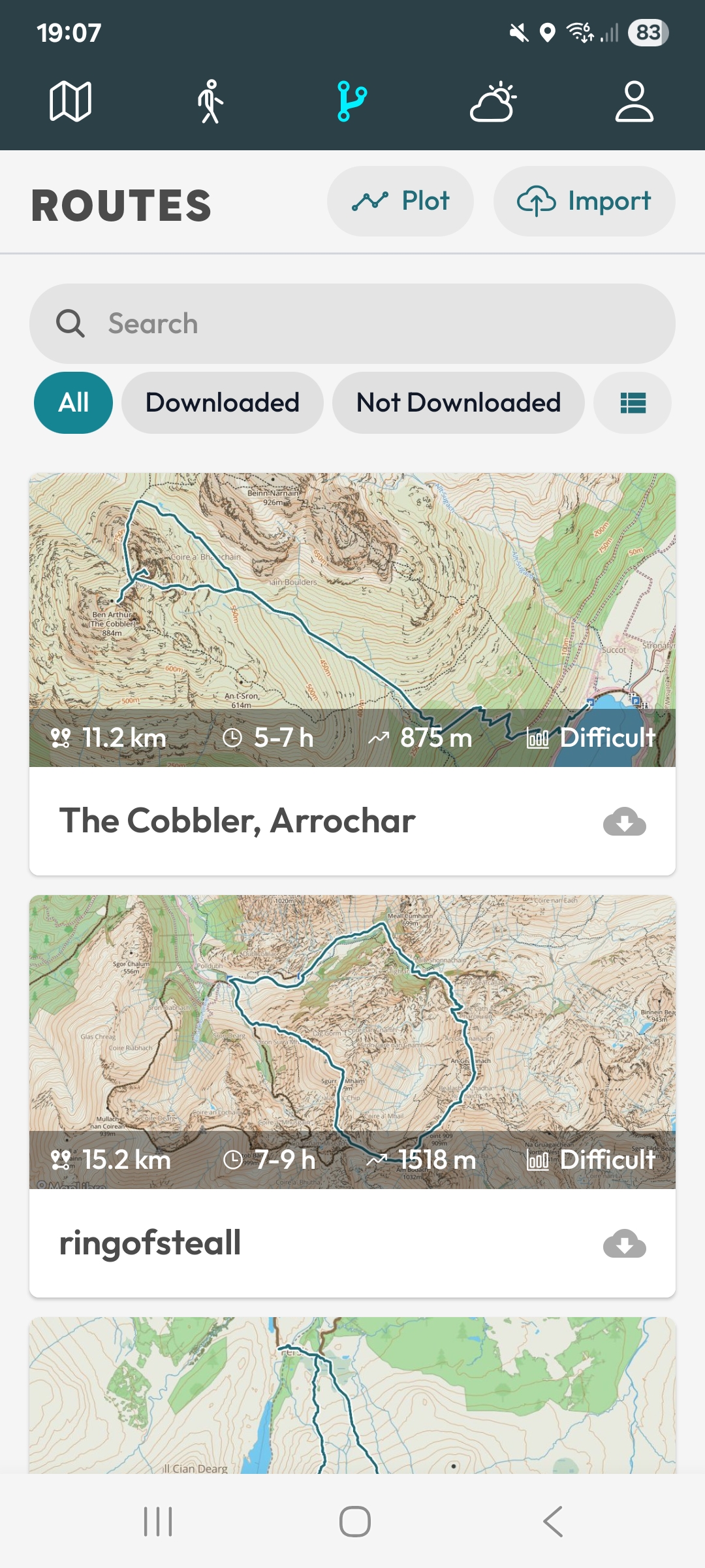
Plot your own route or import existing GPX files.
More coming soon.


Why Grid90
When ViewRanger shut down in 2022, a lot of walkers lost the tool they trusted on the hill. Grid90 was built with the aim to bring the core features back: offline reliability, dependable guidance, and mapping you can trust, without the clutter.

Real screens from the app. Swipe through.
An honest note
Grid90 holds on to the thing the best hill apps used to get right: simplicity. Open the app, see where you are, follow your route. No clutter, no fuss.
We're not going to pretend it's the finished article or the best app out there. We're trying to build something people genuinely love, and it gets better every time someone tells us what's missing. If you give it a go, we'd really like to hear what you think.
Send feedbackFree to download. Take it on your next adventure and see for yourself.

